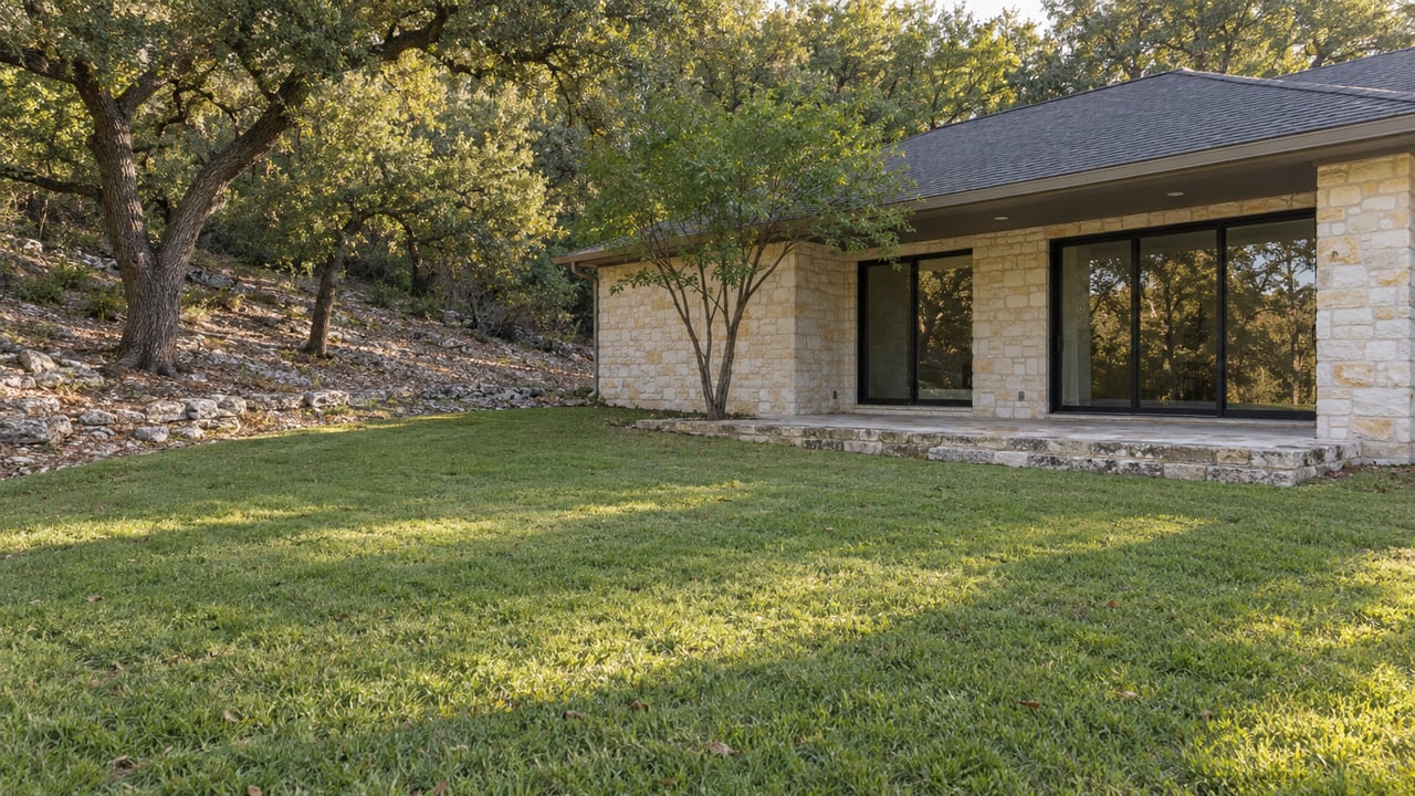
A buyer we worked with last year fell for a listing that promised "greenbelt serenity," a wooded lot with a deck built out toward the tree line. The survey that came back during the option period told a different story. The back third of that deck sat on land the buyer would never own. It was City of Austin parkland, part of the Bull Creek Greenbelt system, and no easement on file covered the encroachment. A prior owner had simply built it that way. The house closed. The deck came back three feet before the buyer could legally use it as shown in the photos.
That gap between what a listing implies and what a plat shows up is the real story behind Northwest Hills lots marketed as backing to greenbelt or carrying panoramic views. Northwest Hills sits next to a genuine amenity system, Lower Bull Creek Greenbelt, Upper Bull Creek Greenbelt, and Bull Creek District Park to the west, with the elevated outlook around Mount Bonnell giving certain streets long sightlines toward Lake Austin and downtown. Listings lean hard on both features. What they rarely spell out is that the phrase "backs to greenbelt" describes what you see from the patio, not what you're allowed to do with the land behind it, and that the regulatory reality of this specific watershed shapes what a future addition, pool, or fence line can actually accomplish.
The Property Line Stops Where the Deed Says It Stops
A greenbelt-adjacent lot in Northwest Hills backs onto one of two things: city parkland or a private treed parcel that simply looks like greenbelt from the yard. Streets like 5503 Courtyard Drive, marketed around a tree-covered lot and pool before it closed in July 2025, or 6003 Marquesa Drive and 3601 Laurel Ledge Lane, lean on that wooded, tucked-away framing. If the land on the other side of the fence is Bull Creek Greenbelt itself, addressed at 7806 N Capital of Texas Highway, it is Austin parkland, not an extension of the lot. An owner doesn't control that ground and generally can't extend a fence, deck, or stairway onto it without a recorded easement or a license from the city. If a public trail runs along that edge, the owner also can't exclude trail users from it, no matter how private the backyard feels in the listing photos.
None of this shows up in a walk-through. It shows up in a title search, a recorded plat, and a current survey, which is exactly why it belongs on the pre-offer checklist rather than the post-closing one.
The Watershed Caps What Comes Next
Even when the rear lot line is entirely private, Northwest Hills carries a second layer of restriction that most buyers never think to ask about: which watershed the parcel sits in. Bull Creek Watershed is one of the more environmentally sensitive drainage areas the City of Austin regulates, and the city has treated it that way for years. A 2008 case reported by the Austin Monitor showed how differently the city caps impervious cover by watershed on a single site straddling two of them. Under an older grandfathered plan, the developer could build to 57 percent impervious cover. Under the rules that applied once that grandfathering expired, the portion of the same property sitting in Bull Creek Watershed was capped at 40 percent impervious cover, while the adjoining Panther Hollow portion was capped at 20 percent. Two watersheds, two very different ceilings, on land a few hundred feet apart.
That tiering by watershed hasn't gone away. The city's Watershed Protection Ordinance still classifies land using categories like the Critical Water Quality Zone and the Water Quality Transition Zone, and sets stream buffer requirements by drainage area, 64 acres for minor headwater waterways, 320 acres for intermediate waterways, and 640 acres for major ones, according to the ordinance summary the city's planning staff prepared. For a Northwest Hills lot near Bull Creek, that structure matters the moment a buyer starts sketching an addition, a pool, or an expanded patio. The existing house, driveway, and any prior hardscape already count against whatever percentage applies to that parcel. A rear-facing lot with a big footprint may have less room left to build than an interior lot the same size, simply because of where its watershed line falls.
Research on the watershed itself explains why the city holds the line here. A University of Texas engineering study of Bull Creek Watershed found that its impervious cover had already reached levels the city's own metric classifies as "impacted," on the edge of "non-supporting," with build-out modeling showing the potential to tip further if development continued unchecked. That's the underlying reason a renovation plan near Bull Creek Greenbelt needs a watershed determination before a design gets drawn, not after a contractor is already scheduled.
Floodplain and Tree Canopy Add Two More Layers
Lots that sit directly along the creek, rather than simply near the broader greenbelt system, carry a further wrinkle. Some occupy a buildable ridge safely above the creek's floodplain. Others include steep, eroding banks that intersect it. Floodplain status affects what can be permitted, how a foundation has to be engineered, and whether flood insurance is available or affordable on that specific parcel, which is a different question from whether the lot looks scenic from the back porch.
Tree canopy works on a similar split. Trees rooted on the owner's side of the line belong to the owner, subject to Austin's Tree Ordinance for anything large enough to require a permit before removal or major pruning. Trees rooted on parkland are not the owner's to alter, even if they shade the yard or drop limbs onto it every storm season.
What "Backs to Greenbelt" Actually Guarantees
| The listing photo shows | What the deed and code actually confirm |
|---|---|
| A wooded or open view from the main living spaces | A durable sightline, if the land behind it is public parkland or a private parcel unlikely to be developed |
| A private-feeling backyard | Privacy from the house next door, not necessarily from a public trail along the rear edge |
| Room for a future pool or addition | Only as much impervious cover as the watershed cap and existing hardscape leave available |
| A "greenbelt lot" premium | A value story that holds up when the feature is direct, usable, and easy for the next buyer to verify, not when it's assumed |
The Premium Is Real, and Also Conditional
Buyers aren't wrong to pay for this. Research focused on Austin has found that adjacency to a greenbelt can add meaningful value, in the strongest documented cases reaching as much as a fifth of a home's price, though the effect is specific to the location and the way the feature actually functions day to day. A lot with a clean, well-documented greenbelt line and a usable rear yard supports that premium. A lot where the deck already encroaches on parkland, or where the impervious cover is close to its cap, or where part of the rear yard sits in the floodplain, carries the same marketing language with a much thinner claim behind it.
What to Pull Before You Offer Above List
- The recorded plat and current survey, to confirm exactly where the private lot line ends
- Any recorded easements or encroachment agreements covering fences, decks, or stairs near the rear property line
- The city's watershed and floodplain layers for the specific address, not the neighborhood in general
- A tree survey noting which large trees sit on the private side of the line versus the parkland side
- A comparison of existing impervious cover on site against the cap that applies in that watershed, before finalizing any addition or pool plans
FAQ
Does every Northwest Hills lot near Bull Creek fall inside the same impervious cover cap? No. The cap depends on which watershed and zone classification applies to that specific parcel, which is why a watershed determination for the exact address matters more than a general rule of thumb for the neighborhood.
Can I get permission to install a gate into Bull Creek Greenbelt from my backyard? Only with a recorded easement or a license agreement with the city. Without one, a gate or direct access point isn't a right that comes with the lot, regardless of how long a prior owner may have used one informally.
How do I find out if a lot already exceeds its impervious cover limit? A current survey paired with a watershed determination from the city will show existing impervious cover against the applicable cap, which is information worth having before writing an offer that assumes room for a future pool or addition.
If you're comparing a greenbelt-backing lot against a view lot in Northwest Hills, or trying to figure out what a specific address near Bull Creek actually allows before you write an offer, Living Well in Austin can walk the plat, the watershed layer, and the survey with you before that decision gets expensive.